
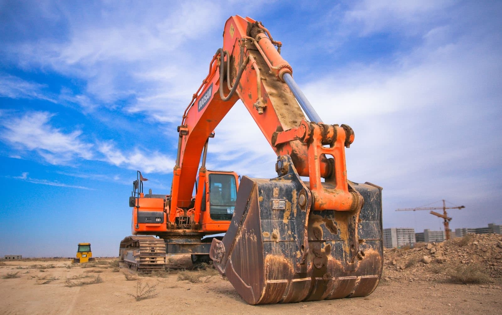
Earthwork estimating & takeoff services
Earthwork quantities from grading plans and sections: clearing, topsoil strip, cut, fill, import or export, structural excavation, backfill and erosion control, with swell and shrink stated.
How we estimate earthwork
Earthwork is where estimates swing the most, because the quantity depends on the method. We calculate cut and fill from the existing and proposed grading surfaces, by grid or by digital terrain model when the civil set includes one, and state the swell and shrink factors used so the haul and import numbers can be checked.
Building pad preparation, structural excavation for footings and utilities, backfill and compaction, rough and fine grading, and erosion control are each carried separately, with the geotechnical report's requirements for over-excavation and select fill reflected where the report is provided.
- Drawings used
- C-100 existing conditions, C-200 demolition, C-300 grading plan & sections, C-500 erosion control, geotechnical report, Spec 31 10 00 / 31 20 00 / 31 23 00 / 31 25 00
- Reported in
- AC · SF · CY · LF · SY · EA
- Format
- Editable Excel workbook, division tab with sheet references; PDF summary; written exclusions and assumptions.
- Turnaround
- Confirmed after we review the set and the project date.
Excluded by default
- Rock excavation unless indicated on the drawings or geotech
- Contaminated or hazardous soil handling
- Dewatering beyond sump pumping
- Unsuitable soils beyond stated allowance
- Off-site improvements and right-of-way work
- Survey, staking and testing fees
Line items in an earthwork takeoff
Every group below is a separate section of the workbook. Units shown are the units the estimate reports in.
Site preparation
AC · SF · CY- Clearing and grubbingAC / SF
- Tree removal by sizeEA
- Topsoil strip and stockpile by depthCY
- Demolition of pavement and structuresSF / CY
- Construction entrance and stagingEA / SF
- Site fencing and tree protectionLF
Mass grading
CY- Cut to grade, bank measureCY
- Fill from on-site material, compactedCY
- Import fill with shrink factorCY
- Export with swell factor and haul distanceCY / MI
- Rock excavation where indicatedCY
- Unsuitable material removal allowanceCY
Building pad
CY · SF- Pad over-excavation per geotechCY
- Structural fill, select, compacted in liftsCY
- Moisture conditioningCY
- Proof-rolling and testing coordinationSF
- Pad fine gradingSF
- Sub-slab granular base (coordinate Div 03)CY / TON
Structural excavation
CY · LF- Footing and grade beam excavationCY / LF
- Elevator pit and deep excavationCY
- Trenching for utilities by depthLF / CY
- Backfill and compactionCY
- Bedding and pipe zone materialCY / TON
- Shoring, sloping and trench boxesLF / LS
Finish grading
SF · SY- Rough gradingSY
- Fine grading at pavement and buildingSY
- Topsoil respread by depthCY / SF
- Slope grading and benchingSF
- Swales and ditchesLF
- Final dressing at landscape areasSF
Erosion & sediment control
LF · EA- Silt fenceLF
- Inlet protectionEA
- Stabilized construction entranceEA
- Sediment basins and trapsEA / CY
- Seeding, mulch and matting for stabilizationSF / SY
- SWPPP inspections and maintenanceMO
A earthwork takeoff, as delivered
| Description | Qty | Unit | Sheet | Material | Labor | Total |
|---|---|---|---|---|---|---|
| Clearing & grubbing, light brush | 4.1 | AC | C-201 | - | 14,350 | 14,350 |
| Topsoil strip, 6", stockpile on site | 3,420 | CY | C-301 | - | 10,260 | 10,260 |
| Cut to grade, bank measure | 12,400 | CY | C-301 | - | 37,200 | 37,200 |
| Fill, on-site, compacted 95% | 8,600 | CY | C-301 | - | 34,400 | 34,400 |
| Export, 20% swell, 8 mi haul | 4,560 | CY | C-301 | - | 41,040 | 41,040 |
| Silt fence, inlet protection, entrance | 1 | LS | C-501 | 8,900 | 7,600 | 16,500 |
| Division 31 subtotal | 8,900 | 144,850 | 153,750 | |||
Specific to this trade
How do you calculate cut and fill?
By comparing existing and proposed surfaces: a grid method on simple sites, a digital terrain model where the civil set provides surfaces. The method is stated on the estimate with the shrink and swell factors applied.
What if there is no geotechnical report?
We estimate to the drawings and flag pad preparation, over-excavation and fill quality as assumptions. When the report arrives, those lines are revised.
Is rock included?
Only when the drawings or geotech indicate it. If borings show rock within the excavation depth, it is priced as a separate line so the risk is visible.
Earthwork bid due soon?
Send the relevant sheets and we'll come back with a price and a date.